
James McPadden · Mary’s son · Ireland, October 1904
The miles before
the ocean.
From a home in Leitrim to a ship at Queenstown.
A home, a possible rail journey, and a documented departure.
Loading the map… You can keep reading.
Home to harbourJourney overview
Choose a place to return to its part of the story. These are not confirmed train changes. The distance strip—not this directory—spaces milestones by approximate distance.
- Illustrative route to Queenstown station
- About 360 km / 225 miles
- First road section
- 5.6 km candidate · not a verified 1904 itinerary
- Private approach, station entrances, transfers and waterfront
- Not included in the distance
- Elapsed time / overnight stop
- Not established
01Tullynascreen · County Leitrim
Before the ocean, there was home.
Where in Ireland?
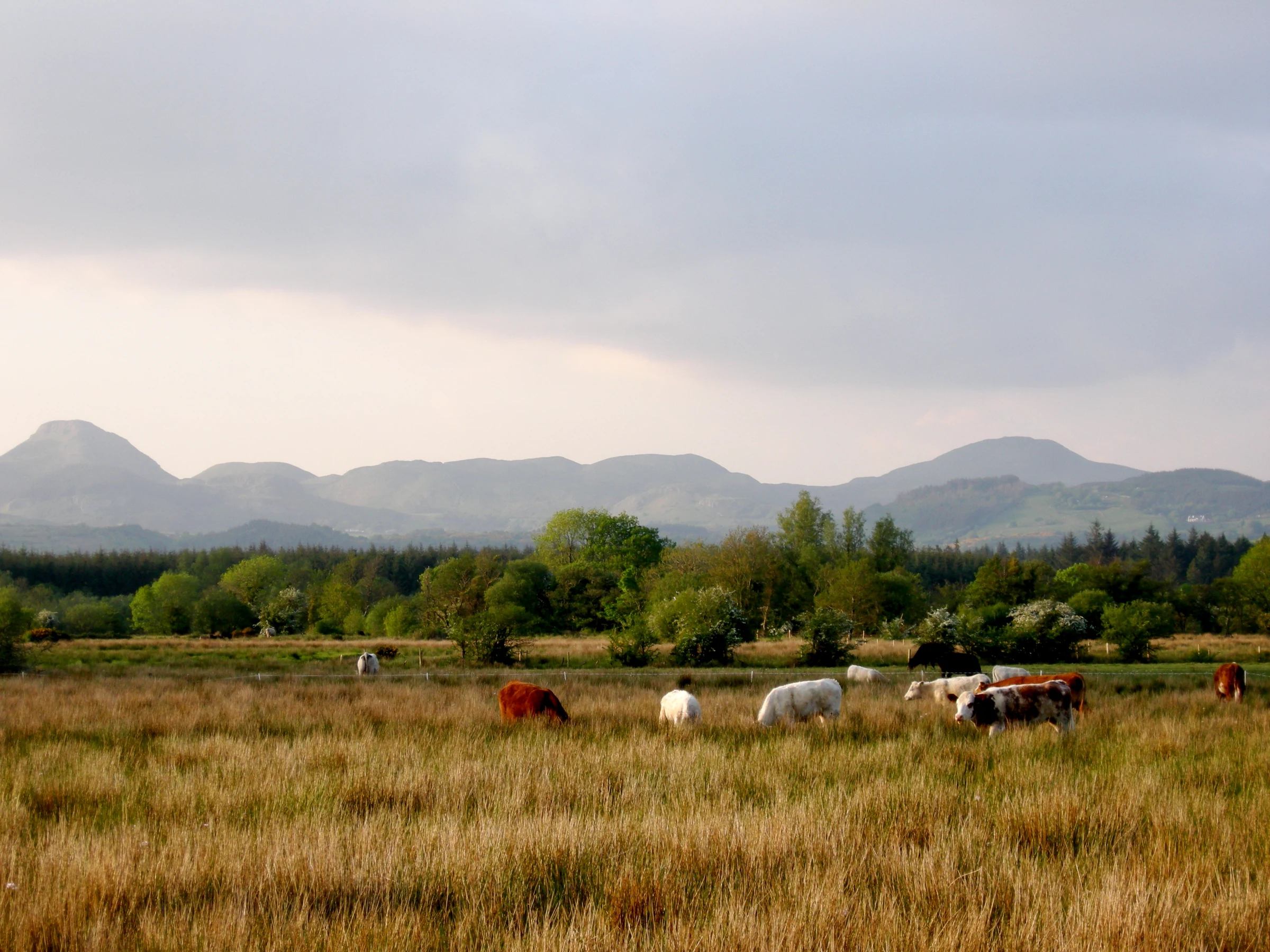
For James McPadden, America began a long way from the sea. Behind him was the Tullynascreen household of his mother, Mary. Ahead was his older sister Catherine, already building a life in Bridgeport, Connecticut.
Mary’s 1904 document names Tullynascreen; James’s passenger entry gives his last residence as “Drumahair.” Together, those records connect his home townland with the nearby railway village. They locate the world he was leaving—not his footsteps out of it.
Modern reference boundaries, not a map of Mary’s holding. No private home is marked.
02Tullynascreen · glimpses of home, 1901 and 1911
A home between two records.
Where in Ireland?
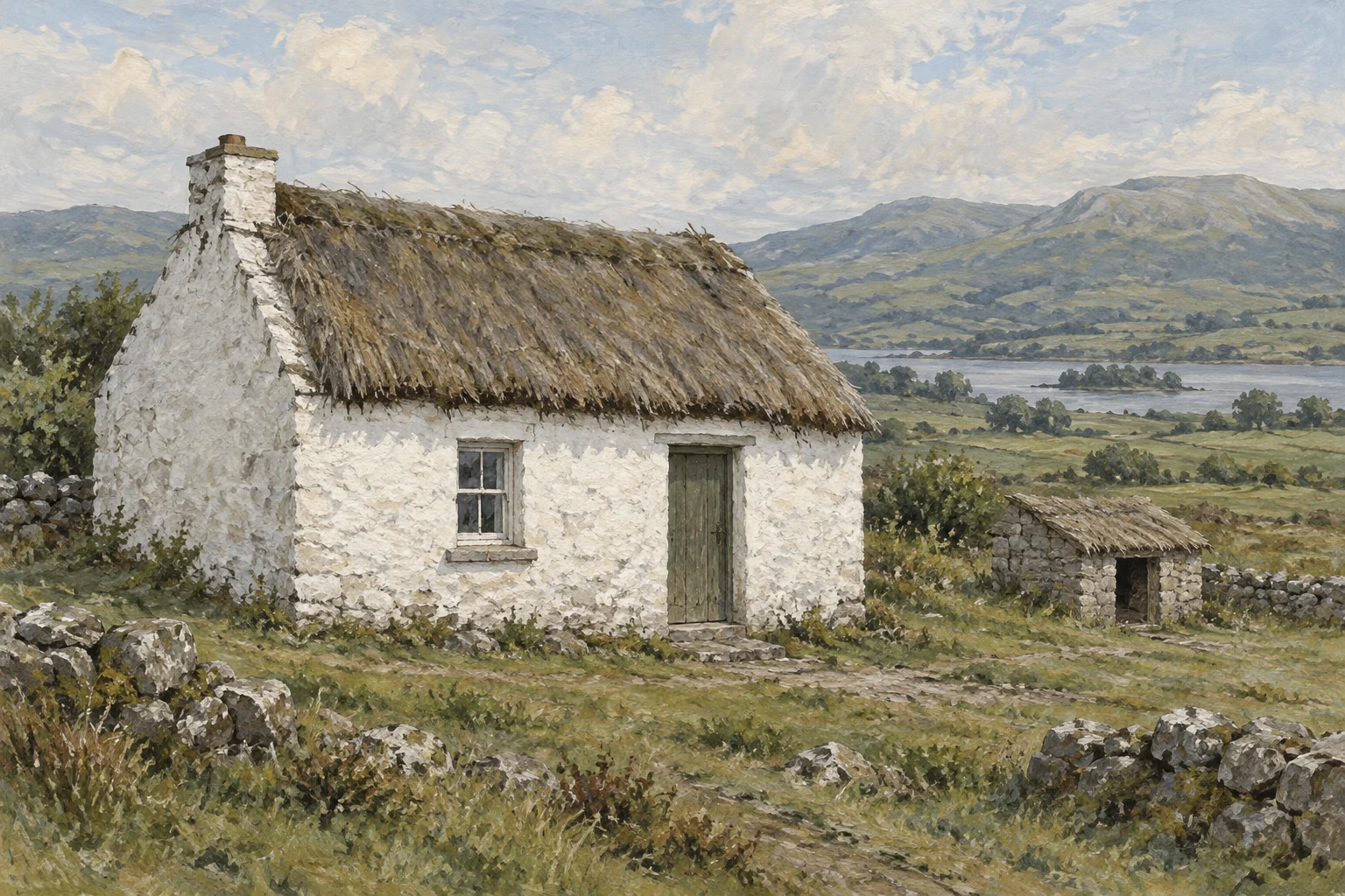
A house can be a whole world to the people who know it. In 1901, Mary’s building return records two rooms occupied by the family, two front windows and three outbuildings: a cow house, calf house and piggery.
By 1911, her return describes one occupied room, one front window and a fowl house. Whether the building, the space in use, or the recording changed is a question—not yet an answer.
This illustration takes its clues from that later return. It cannot show the exact home James left in 1904. Nor can we say who accompanied him on the first miles: walking, riding and a horse-drawn cart remain possibilities.
The first miles · a possible departure
Before the platform, a road from home.
Before any platform or ocean liner, there was the task of leaving home with whatever could be carried. For this telling, imagine a horse and cart taking James toward Dromahair station. This is our chosen illustration, not a family memory or a journey described in a record.
Loading the map… You can keep reading.
Picture the change from a room that holds your familiar world to a road that carries you away from it. A cart would leave room for belongings, but it would still move at the pace of an animal: each bend another small separation from home.
Follow the road north through the crossroads toward the station. The map traces about three-and-a-half miles of public road, leaving the private approach out of view. At an assumed cart pace of three or four miles an hour, that shown section alone would take roughly an hour before stops. We do not know James’s route, vehicle or pace; this is one way to imagine the scale of the first miles.
Think of the practical choices before a long journey: clothing for the days ahead, something to eat, money and the information needed to find family across the ocean. These are ways of imagining the task before him, not a list of what James packed.
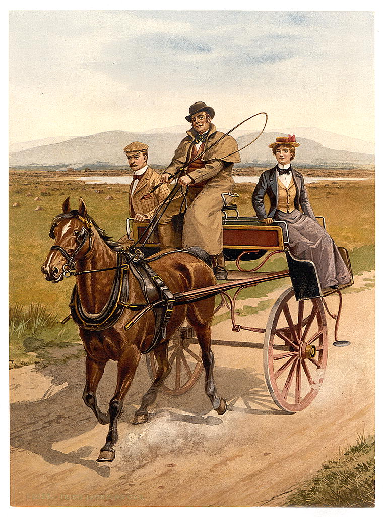
In this imagined departure, reaching the station is a threshold: what could be carried from home must now be taken onward by train. We do not know who might have stood beside James there, or where any goodbye was said.
Arrive at the stationHorse and cart: an illustrative choice. Road bends: modern geometry, compared with historical maps—not a verified 1904 itinerary. His driver, companions, belongings and departure time are unknown.
The map begins on a public road in the townland, not at a house. The private cottage and its access lane are not shown. The distance excludes that approach and the final station entrance.
AI illustration informed by 1911 records. Not a photograph or verified view of the cottage in 1904.
03Dromahair · station opened 1 September 1881
The station was already there.
Where in Ireland?
By October 1904, Dromahair had had a railway station for twenty-three years. Whether James began his own journey here remains unconfirmed—but the railway was already part of the landscape around home.
Imagine the change in scale: familiar roads giving way to a network of places beyond home. A station could be the threshold between the world a traveller knew and places known only by name.
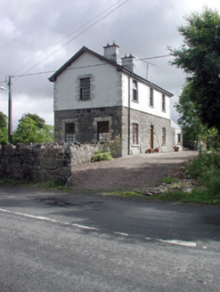
An earlier surviving building, not established as the ticket hall. Later survey photograph.
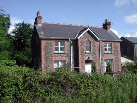
This house came later. Its date does not date the station. Later survey photograph.
© Department of Housing, Local Government and Heritage · National Inventory of Architectural Heritage (NIAH) · educational use. These surviving buildings are private property; their inclusion is not an invitation to enter or visit.
Later survey photographs of surviving railway buildings, not photographs of James’s departure.
04Dromahair → Ballintogher → Collooney
The line bends west.
Where in Ireland?
From Dromahair, the Sligo, Leitrim and Northern Counties Railway bent west through Ballintogher toward Collooney. We can follow that line on a map published in 1904.
About eight mapped miles brought another railway connection within reach. Home was behind a traveller taking this route, but the ocean was still far away.
Loading the map… You can keep reading.
Approximately 13 km / 8 miles, regionally traced. James’s use of this railway remains unconfirmed.
05Collooney → Tobercurry → Charlestown
A connection, not one train to the sea.
Where in Ireland?
At Collooney, separate railway companies had separate stations. In the western corridor we are exploring, the next line runs south through Tobercurry toward Charlestown.
A connection here could have meant changing trains—and finding a different station. For a traveller carrying belongings, the journey could involve more than sitting aboard and waiting for the sea.
Loading the map… You can keep reading.
One possible western corridor. Other routes are not excluded; this is not ranked as James’s most likely itinerary.
06Charlestown → Claremorris → Tuam → Athenry
The home county falls behind.
Where in Ireland?
The railway continues through Mayo to Claremorris, then through Tuam toward Athenry in County Galway. Place follows place. What began in one small home locality has become a journey across counties.
Loading the map… You can keep reading.
Mapped infrastructure in 1904; services and personal travel unconfirmed.
07Athenry → Gort → Ennis → Limerick
Still on land. Still travelling.
Where in Ireland?
From Athenry the corridor runs through Gort and Ennis toward Limerick. On a small map of Ireland, the distance is easy to pass over. Following each section makes the scale of the inland journey harder to overlook.
For a traveller taking this route, a port was not simply the next place after home. There were railway towns, connections to negotiate and more country still to cross. We cannot supply James’s experience of those hours, but we can show the geography he might have had to navigate.
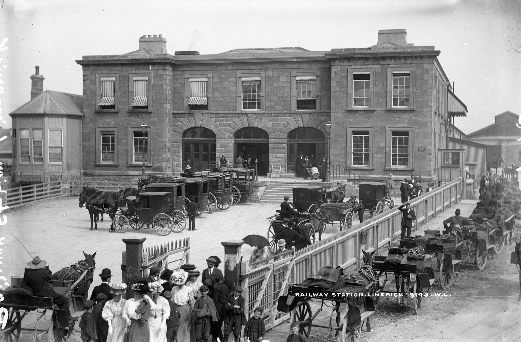
Loading the map… You can keep reading.
Possible route, not a reconstructed day of James’s life. No travel duration is asserted.
08From Limerick → Croom → Charleville → Mallow → Cork
South, toward another city.
Where in Ireland?
South from the Limerick area, the corridor passes Croom and Charleville, then Mallow toward Cork.
Cork was a railway city before it was the last major name on this possible inland journey. Reaching it would still leave the harbour ahead.
Loading the map… You can keep reading.
Regional trace, not surveyed track positions. No exact interchange or city walking route is assigned to James.
09Cork → Queenstown Junction → Queenstown
At last, the railway turns toward the port.
Where in Ireland?
On the 1904 map, the line leaves Cork and reaches the junction for Queenstown, following the harbour toward the town. The inland journey now meets the place named in James’s passenger record.
A map can bring us this close to the waterfront without telling us when he arrived. We do not know where he waited, whether he stayed overnight, or how much of his money he spent here. Those questions remain open.
Loading the map… You can keep reading.
The map establishes a railway connection—not James’s arrival train, arrival date or expenses.
10Queenstown · 13 October 1904
At the harbour, the record becomes firmer.
Where in Ireland?
Reaching the railway’s end did not mean reaching the ocean liner. There was still a waterfront to navigate, a passage to arrange and a smaller boat between the shore and the ship.
The map follows a possible approach toward the former White Star office, then indicates the pier as context. Modern streets help us read the geography; they do not establish James’s walk, a 1904 access route or his boarding point.
Here the record becomes firmer: James embarked on the Teutonic at Queenstown on 13 October 1904. The photograph lets us look at the tendering world around that time—not at James himself. The sea was about to become the next part of the journey.
Loading the map… You can keep reading.
Recorded embarkation: Teutonic, Queenstown, 13 October 1904. Tender photograph: contextual, c.1903.
At the edge of the Atlantic
Ahead lay an ocean.
We have followed one possible way to the harbour. Here, the passenger record gives us firmer ground: James sailed on Teutonic.
His sister Catherine was on the other side of that ocean. Bridgeport—and the life he would build there—still lay ahead.
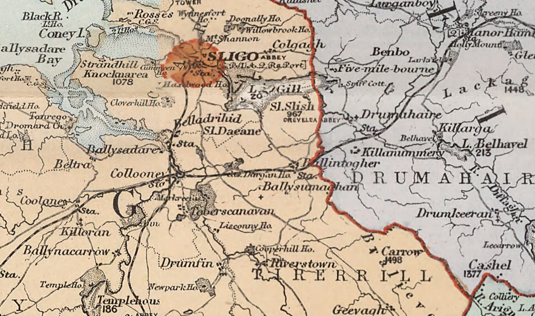 Open the historical map crop ↗